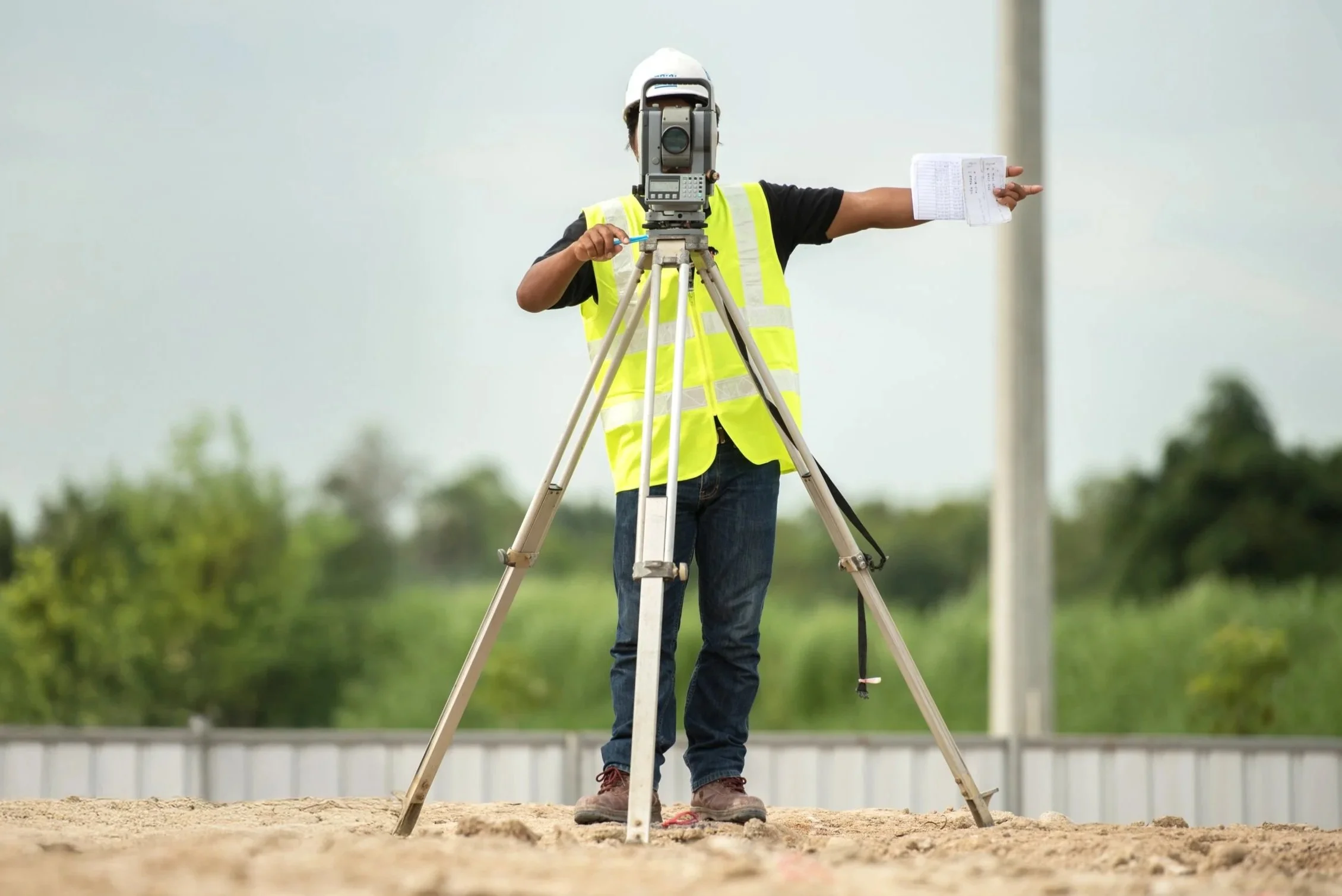
Full-Scale Residential
& Commercial Surveying Services.

Build with Confidence.
Buy with Peace of Mind.
Every property has a story—and it starts with knowing where your land begins and ends. A professional land survey gives you the clarity and confidence you need, whether you’re buying a new home, planning a renovation, or developing land. With accurate boundaries and detailed mapping, you can avoid costly mistakes, meet local requirements, and move forward with peace of mind.
In Charleston and the Lowcountry, where coastal regulations, flood zones, and unique landscapes often come into play, a trusted survey is more than a formality—it’s your foundation for smart decisions.

Lowcountry roots, family values, trusted surveys since 1985.
Our Services

Property & Boundary Surveys
-
Comprehensive surveys meeting national standards for commercial real estate transactions.
-
Marking property corners on-site to clearly define boundaries.
-
Determining exact property lines for ownership and development purposes.
-
Modifying or legally removing property boundary lines.
-
Drafting precise, legally recognized property boundary descriptions.

Floodplain & Elevation Services
-
What should we know about the services you provide? Better descriptions result in more sales.
-
What should we know about the services you provide? Better descriptions result in more sales.

Residential & Closing Surveys
-
Providing lenders and buyers with accurate property details for real estate closings.
-
Surveying for compliance with Architectural Review Board or HOA requirements.
-
Surveying waterfront properties for dock design, permitting, and placement.
-
Detailed drawings showing proposed improvements and property layouts.

Construction & Utility Surveys
-
What should we know about the services you provide? Better descriptions result in more sales.
-
What should we know about the services you provide? Better descriptions result in more sales.
-
What should we know about the services you provide? Better descriptions result in more sales.

Topographic & Tree Surveys
-
Mapping land elevations and features for design and engineering projects.
-
Identifying and documenting tree locations, sizes, and species on a property.
-
What should we know about the services you provide? Better descriptions result in more sales.

Land Development Services
-
What should we know about the services you provide? Better descriptions result in more sales.
-
What should we know about the services you provide? Better descriptions result in more sales.
Request a Quote.
Ready to get started? Whether you’re buying property, planning construction, or need documentation for insurance or permitting, our family-run team has been serving the Lowcountry since 1985. Tell us a little about your project, and we’ll provide a clear, timely quote so you can move forward with confidence.
Common Reasons to Get a Land Survey
Buying or Selling Property
Confirms the boundaries and ensures no encroachments or disputes with neighbors.
Building or Renovating
Establishes accurate site plans before construction, preventing setbacks or code violations.
Property Line Disputes
Provides a legal document to resolve disagreements with neighbors over fences, driveways, or structures.
Subdivision or Land Development
Defines new lots, easements, and infrastructure layouts.
Floodplain & Elevation Certificates
Required for insurance purposes and compliance with FEMA regulations.
HOA/ARB Compliance
Ensures new builds or modifications meet neighborhood guidelines.
Dock or Waterfront Surveys
Establishes boundaries and permitting requirements along rivers, marshes, or the coast.
Utility and Easement Locations
Identifies underground or above-ground utilities to avoid damage or violations.
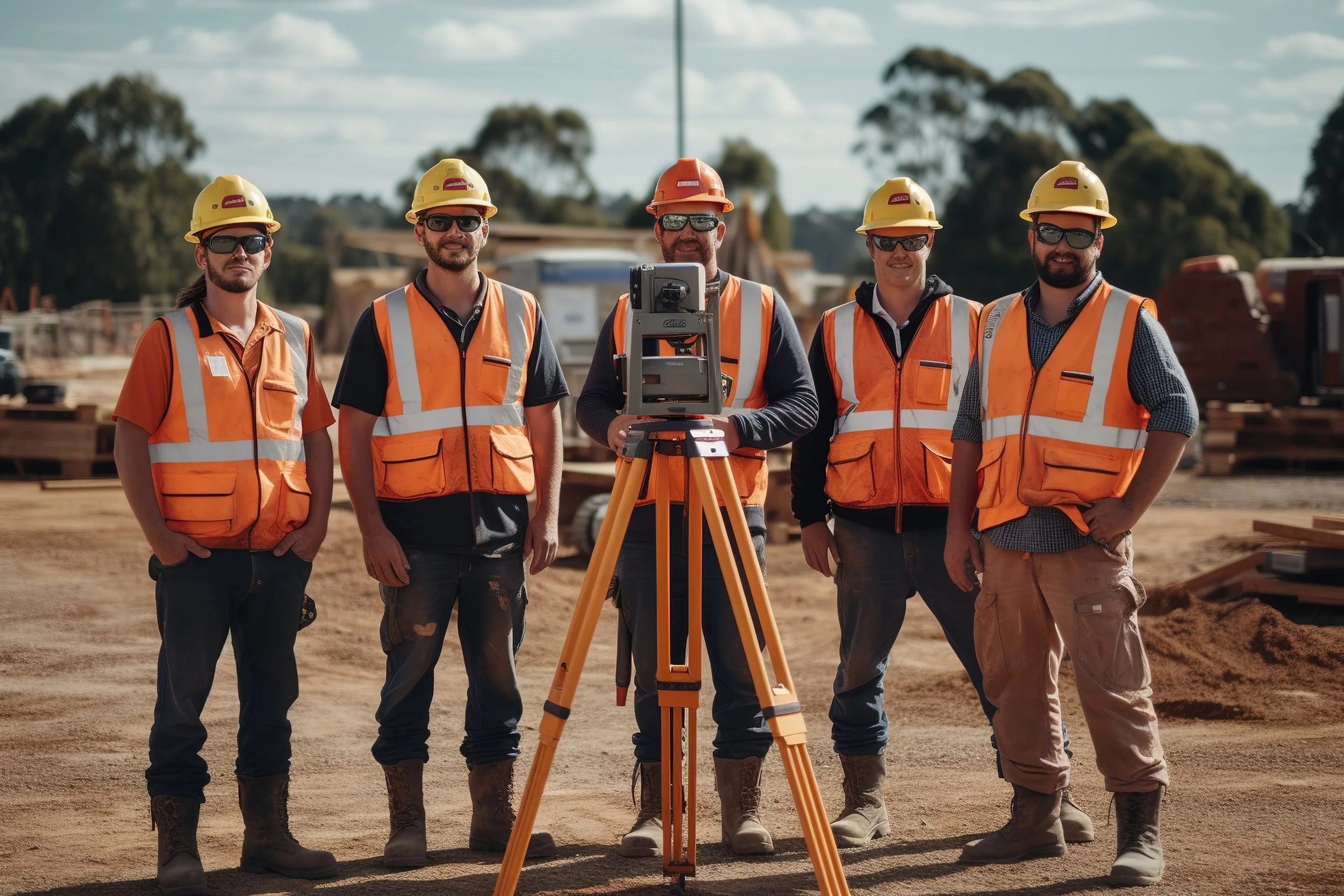
At Palmetto Land Surveying Inc., we are a small family run company that strives to provide top quality professional and accurate surveys from start to finish. We pride ourselves in having a skilled and knowledgeable staff to assist you with any of your surveying needs. We excel in customer service and always look forward to gaining new loyal customers.
The Palmetto Land Surveying Difference

Palmetto Land Surveying Inc.
2551 Ashley River Road
Charleston, SC 29414
Phone
(843) 571-5191
Email
palmettolandsurveying@gmail.com
Hours
Monday–Thursday
7am–4pm
Friday
7am-12pm
Saturday-Sunday
Closed